
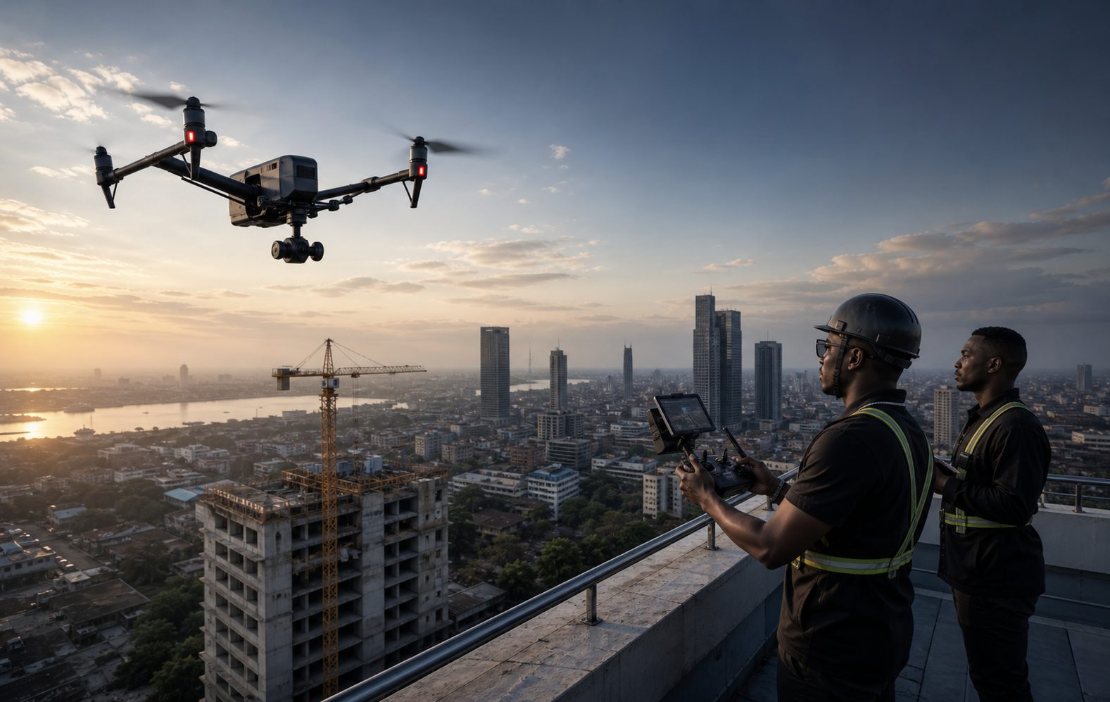
People readily picture the drone pilot as someone who makes beautiful aerial images. That is part of the reality. The other part, less spectacular, comes down to one word: responsibility. Flying an aircraft over a construction site, an event or a plot of land engages the safety of people on the ground, and that shapes the whole profession.
A service profession, not a flying one
The professional remote pilot does not sell a flight: they sell a result. Images for a property development, a topographic survey, the condition of a roof, progress on a building site, coverage of an event, a map of a parcel of land.
That destination governs everything else. A flight intended to produce an accurate plan is not prepared like an illustrative sequence: altitude, image overlap, lighting conditions and data processing have nothing in common.
The profession therefore combines three distinct skills: flying safely, producing usable data or images, and managing a client relationship like any other service provider.
An international framework, national rules
This is the most important point to grasp, and the one on which the most approximations circulate.
The International Civil Aviation Organization coordinates the development of standards and recommended practices for unmanned aviation, with the aim of "facilitating a safe, secure, and efficient integration of unmanned aircraft into the global aviation system". To that end it publishes Model UAS Regulations, designed as a template that Member States may adopt or adapt, built from a review of the existing regulations of many countries.
But ICAO does not regulate flights directly. It is national civil aviation authorities that issue authorisations, set operating conditions and oversee approved organisations. The published models are explicitly intended to be adapted to national context, and States insert their own requirements into them.
Some subjects remain entirely national: sanctions, privacy, insurance. The FAO notes for its part that in many countries there is no legislation specific to drones and that the applicable rules are scattered across various national texts.
The practical consequence: no rule cited for one country holds for another. Registration of the aircraft, the qualification required of the remote pilot, flight authorisation, restricted zones, maximum height, flight over people, compulsory insurance — all of this is checked with the civil aviation authority of the country concerned, before every mission.
Preparing a mission
Preparation is what separates a professional from an amateur with the same aircraft.
It starts with defining the need: what the mission must produce, to what accuracy, for what use.
Then comes site analysis: the nature of the area, the presence of people, obstacles, power lines, proximity to an aerodrome or a sensitive zone, the status of the airspace. This study determines whether the mission is feasible at all.
Then the administrative steps: authorisations required depending on the country and the type of zone, agreement from the owner or site manager, informing the people concerned, checking insurance cover.
Finally, operational preparation: time slot, weather, wind, light, batteries, flight plan, take-off and fallback points — and sometimes the decision not to fly. Knowing when to call it off is part of the job.
During the mission
On site, the remote pilot carries out pre-flight checks, secures the take-off area, keeps bystanders at a distance, and maintains constant awareness of what is happening around the aircraft.
They manage flying, capture and the unexpected simultaneously: a passer-by approaching, a gust, a loss of signal, a bird. On complex missions, a second operator watches the environment while the remote pilot concentrates on the aircraft.
The rule that overrides all others is simple: if there is any doubt about safety, stop. No image justifies a risk to a person on the ground.
Afterwards: processing and delivery
What comes back from the field is almost never the final deliverable.
Depending on the activity, sequences have to be selected and edited, photographs retouched, or data processed: image stitching, generation of models or plans, measurements, annotated inspection reports.
To this are added archiving, backup, and the question of usage rights: what the client may do with the images, on which media and for how long. As in other image professions, this is agreed in advance.
Very varied fields of use
Professional remote piloting goes well beyond illustration:
- property and development, to situate a building in its surroundings;
- construction and public works: site monitoring, progress records, surveys;
- technical inspection: roofs, structures, hard-to-reach installations, with the advantage of sparing someone the climb;
- topography and mapping, where the requirement is accuracy;
- agriculture, for observing plots and monitoring crops;
- events and communication;
- environmental monitoring, over large areas.
These fields require neither the same skills, nor the same equipment, nor the same authorisations. A remote pilot therefore has every reason to state clearly which ones they actually cover.
Responsibility and safety
It has to be said plainly: this is an aviation activity, not a technical hobby.
An aircraft that falls can injure. A flight in a restricted zone can disrupt airspace. Uncontrolled capture can infringe the privacy of third parties.
Professionalism is therefore measured in things that are barely visible: systematic checks, maintenance of the aircraft, respect for authorisations, keeping a flight log, appropriate insurance, and refusing missions that cannot be carried out legally or safely.
That last point deserves to be stated publicly. A remote pilot who explains why certain requests are not feasible inspires more confidence than one who accepts everything.
The African context
Across the African continent, professional drone use is developing in areas where access to the ground is costly or difficult: mapping, agriculture, infrastructure monitoring, logistical support.
Regulatory frameworks, meanwhile, are being built at very different paces from one country to another. That is precisely the purpose of the models published by ICAO: to offer States a harmonised basis they adapt to their own context. The FAO notes for its part that in many countries the rules remain scattered across texts that do not specifically address drones.
No national observation can be extended to the continent, and any regulatory information must be checked country by country. One professional consequence nevertheless applies everywhere: in a young sector, the provider who demonstrates that they know and respect the applicable framework stands out immediately.
Presenting the activity
A client looking for a remote pilot needs to know very concrete things: what kinds of missions do they carry out? which geographical area do they cover? what deliverables do they produce — video, photographs, plans, reports? do they hold the necessary authorisations and insurance? what are their lead times? how do you get in touch?
Showing past work by sector, explaining how a mission unfolds — from request to delivery — and mentioning compliance with the applicable regulatory framework reassures far more than any spectacular image. In an activity where the client engages their own responsibility by commissioning a flight, demonstrating seriousness is a direct commercial argument.
In summary
The professional drone pilot prepares, secures, captures and delivers. The profession combines aviation competence, the production of usable images or data, and responsibility towards people on the ground. An international framework exists, but the applicable rules are national: they are checked country by country, before every mission.
It is an activity where rigour has to be demonstrated — and demonstrating it publicly is part of the work.
Do you work as a drone pilot? Find out how to present your activity online: the missions you carry out, your coverage area, your deliverables and how to reach you.